4,1 km | 6 km-effort
Haut de la pagerie vers Ancinel
GabyG
Gebruiker GUIDE
Lengte
5,1 km
Max. hoogte
285 m
Positief hoogteverschil
190 m
Km-Effort
7,7 km
Min. hoogte
116 m
Negatief hoogteverschil
191 m
Boucle
Ja
Datum van aanmaak :
2020-02-16 14:12:46.307
Laatste wijziging :
2020-02-16 15:54:04.261
1h40
Moeilijkheid : Heel gemakkelijk
Gratisgps-wandelapplicatie
Over ons
Tocht Stappen van 5,1 km beschikbaar op Martinique, Onbekend, Les Trois-Îlets. Deze tocht wordt voorgesteld door GabyG.
Beschrijving
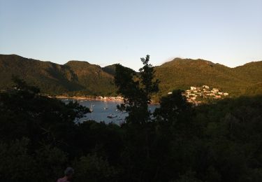
Randonnée un peut corsée. bonne condition physique. montés et descentes un peu raides.
Plaatsbepaling
Land:
France
Regio :
Martinique
Departement/Provincie :
Onbekend
Gemeente :
Les Trois-Îlets
Locatie:
Unknown
Vertrek:(Dec)
Vertrek:(UTM)
710057 ; 1606087 (20P) N.
Opmerkingen
Wandeltochten in de omgeving
Boucle de Anse à l'âne et Galochat à Trois-Îlets.
Stappen
Medium
Les Trois-Îlets,
Martinique,
Onbekend,
France
6,8 km | 10 km-effort
3h 27min
Ja
Anse du four vers anse noire par Gallochat. (A)
Stappen
Medium
Les Anses-d'Arlet,
Martinique,
Onbekend,
France
6,9 km | 10,1 km-effort
2h 17min
Ja
Boucle via Constant et Fond Mulâtre
Stappen
Moeilijk
Les Trois-Îlets,
Martinique,
Onbekend,
France
11,5 km | 16,8 km-effort
4h 0min
Ja
De Gallochat vers Anse à l'âne
Stappen
Medium
(1)
Les Anses-d'Arlet,
Martinique,
Onbekend,
France
4,7 km | 6,8 km-effort
2h 38min
Neen
habitation vatable et ses plantations
Stappen
Medium
Les Trois-Îlets,
Martinique,
Onbekend,
France
6 km | 7,2 km-effort
1h 59min
Ja
Morne Champagne 🍾
Stappen
Medium
Les Anses-d'Arlet,
Martinique,
Onbekend,
France
4,4 km | 6,3 km-effort
2h 10min
Ja
Le Morne champagne par un matin de Juil.
Stappen
Gemakkelijk
(2)
Les Anses-d'Arlet,
Martinique,
Onbekend,
France
4 km | 5,7 km-effort
1h 28min
Ja
Cap Salomon vers grand anse.
Stappen
Medium
Les Anses-d'Arlet,
Martinique,
Onbekend,
France
5,5 km | 9,3 km-effort
2h 32min
Neen
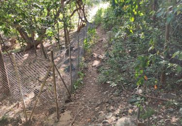
This trail is 'Trace La Pagerie' it is clearly marked on the IGN le Marin 4503MT map. It is noted on google maps but one of the icons is in the wrong place on google. We have tried this route from both ends but could not complete the circuit. It is frustrating because travelling anti clockwise from the start we knew we could only be metres away from the forest trail descending from La Bertrand. This trail needs to be opened up before the trail is overgrown and lost